File:Mapping Our Air.png
Jump to navigation
Jump to search

No higher resolution available.
Mapping_Our_Air.png (640 × 306 pixels, file size: 43 KB, MIME type: image/png)
<addthis />
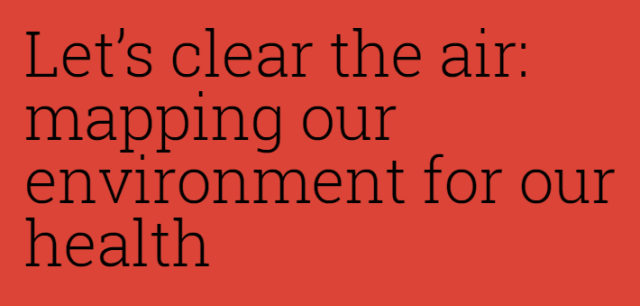
Air Quality Mapping: Environmental Monitoring for Health and Safety
○ ○ ○ ○ ○ ○ ○ ○ ○ ○ ○ ○ ○ ○ ○ ○ ○
Mapping Our Air
- Breathe Better, Live Healthier and Longer
The Environmental Defense Fund and Google Earth Outreach convened a mobile measurement team to assess air pollution at a level of detail that was nearly impossible before.
Seeing pollution mapped this way makes us better advocates for cleaner air and smart development choices.
- Cassandra Ely
Venture On with Best Green Ideas
SJS / GreenPolicy360 Siterunner:
- Going green begins with a decision, a decision to go where you want to go, a step at a time at first, choosing to create waves, waves that ripple out to create more waves...
- Being green is to be a planet citizen.
'GreenVenturing' 
- Identify best-practice green ventures -- forward-looking, visionary ideas
- Share these best green ideas as vehicles- and multipliers-of-change


~
File history
Click on a date/time to view the file as it appeared at that time.
| Date/Time | Thumbnail | Dimensions | User | Comment | |
|---|---|---|---|---|---|
| current | 12:06, 10 July 2017 | | 640 × 306 (43 KB) | Siterunner (talk | contribs) |
You cannot overwrite this file.
File usage
The following 5 pages use this file: