Water Risk: Difference between revisions
Jump to navigation
Jump to search
Siterunner (talk | contribs) No edit summary |
Siterunner (talk | contribs) No edit summary |
||
| Line 24: | Line 24: | ||
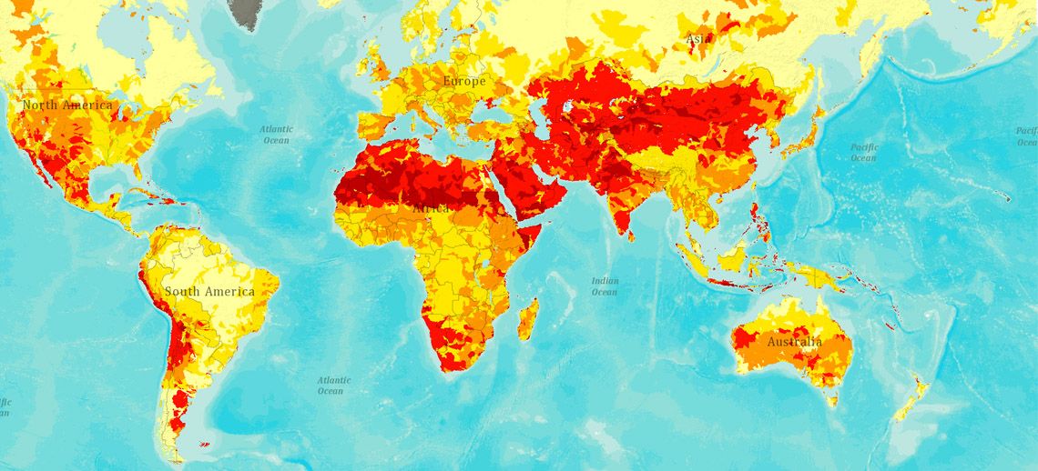
[http://www.wri.org/applications/maps/aqueduct-atlas/#x=8.00&y=0.35&s=ws!20!28!c&t=waterrisk&w=def&g=0&i=BWS-16!WSV-4!SV-2!HFO-4!DRO-4!STOR-8!GW-8!WRI-4!ECOS-2!MC-4!WCG-8!ECOV-2!&tr=ind-1!prj-1&l=3&b=terrain&m=group '''Water Risk Atlas, Interactive'''] | [http://www.wri.org/applications/maps/aqueduct-atlas/#x=8.00&y=0.35&s=ws!20!28!c&t=waterrisk&w=def&g=0&i=BWS-16!WSV-4!SV-2!HFO-4!DRO-4!STOR-8!GW-8!WRI-4!ECOS-2!MC-4!WCG-8!ECOV-2!&tr=ind-1!prj-1&l=3&b=terrain&m=group '''Water Risk Atlas, Interactive'''] | ||
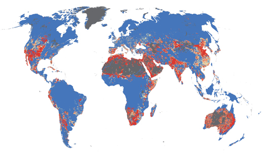
[[File:Water stress index map maplecroft.jpg]] | |||
Latest revision as of 14:33, 23 July 2015
Measuring and Assessing Risks of Water Supplies, Local & Global
https://www.deginvest.de/DEG-Englische-Dokumente/PDFs-Download-Center/DEG-WWF_Water_Risk.pdf
http://www.water.ox.ac.uk/water-security-risk-and-society-conference-2012/
https://www.maplecroft.com/about/news/water_security.html
____________________________________________
http://www.wri.org/our-work/project/aqueduct

