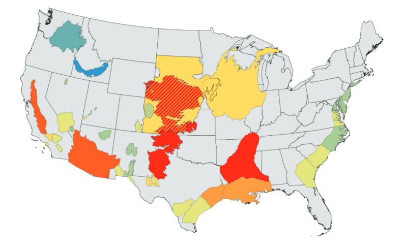
File:USGS Groundwater depletion map 2013.png
Jump to navigation
Jump to search
No higher resolution available.
USGS_Groundwater_depletion_map_2013.png (794 × 490 pixels, file size: 238 KB, MIME type: image/png)
File history
Click on a date/time to view the file as it appeared at that time.
| Date/Time | Thumbnail | Dimensions | User | Comment | |
|---|---|---|---|---|---|
| current | 16:59, 28 May 2016 | | 794 × 490 (238 KB) | Siterunner (talk | contribs) |
You cannot overwrite this file.
File usage
The following page uses this file: