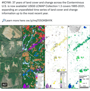
Information for "File:Landsat US collection of maps 1985-2021.png"
Jump to navigation
Jump to search
View the protection log for this page.
Basic information
| Display title | File:Landsat US collection of maps 1985-2021.png |
| Default sort key | Landsat US collection of maps 1985-2021.png |
| Page length (in bytes) | 1,771 |
| Namespace | File |
| Page ID | 11540 |
| Page content language | en - English |
| Page content model | wikitext |
| Indexing by robots | Allowed |
| Number of redirects to this page | 0 |
| Hash value | cbc56abdf12e18923620a51cc204443e242a7824 |
| Page image |  |
Page protection
| Edit | Allow all users (infinite) |
| Move | Allow all users (infinite) |
| Upload | Allow all users (infinite) |
Edit history
| Page creator | Siterunner (talk | contribs) |
| Date of page creation | 23:50, 19 October 2022 |
| Latest editor | Siterunner (talk | contribs) |
| Date of latest edit | 23:53, 19 October 2022 |
| Total number of edits | 3 |
| Total number of distinct authors | 1 |
| Recent number of edits (within past 90 days) | 0 |
| Recent number of distinct authors | 0 |