File:USA-satellitemap.jpg: Difference between revisions
Jump to navigation
Jump to search
Siterunner (talk | contribs) No edit summary |
Siterunner (talk | contribs) mNo edit summary |
||
| Line 12: | Line 12: | ||
<small>US Maps created by Imgur user Fejetlenfej</small> | <small>US Maps created by Imgur user Fejetlenfej</small> | ||
~ | |||
[[Category:Green Graphics]] | [[Category:Green Graphics]] | ||
[[Category:Maps]] | |||
[[Category:United States]] | [[Category:United States]] | ||
[[Category:US]] | [[Category:US]] | ||
[[Category:Watersheds]] | [[Category:Watersheds]] | ||
Latest revision as of 15:36, 26 May 2023
The Rivers of the Mississippi Watershed
Use by Creative Commons Non-commercial
~

US Maps created by Imgur user Fejetlenfej
~
File history
Click on a date/time to view the file as it appeared at that time.
| Date/Time | Thumbnail | Dimensions | User | Comment | |
|---|---|---|---|---|---|
| current | 15:18, 23 February 2016 | 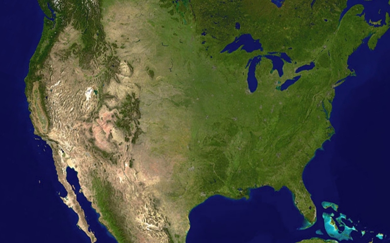 | 794 × 496 (232 KB) | Siterunner (talk | contribs) | Category:Green Graphics Category:United States Category:US |
You cannot overwrite this file.
File usage
The following page uses this file: