Virtual Earth: Difference between revisions
Siterunner (talk | contribs) No edit summary |
Siterunner (talk | contribs) No edit summary |
||
| Line 49: | Line 49: | ||
[[Category:Earth Observations]] | [[Category:Earth Observations]] | ||
[[Category:EOS eco Operating System]] | |||
[[Category:Planet Citizen]] | [[Category:Planet Citizen]] | ||
[[Category:Citizen Science]] | [[Category:Citizen Science]] | ||
[[Category:Planet Scientist]] | [[Category:Planet Scientist]] | ||
[[Category:Planet Citizens, Planet Scientists]] | [[Category:Planet Citizens, Planet Scientists]] | ||
Revision as of 14:30, 2 February 2015
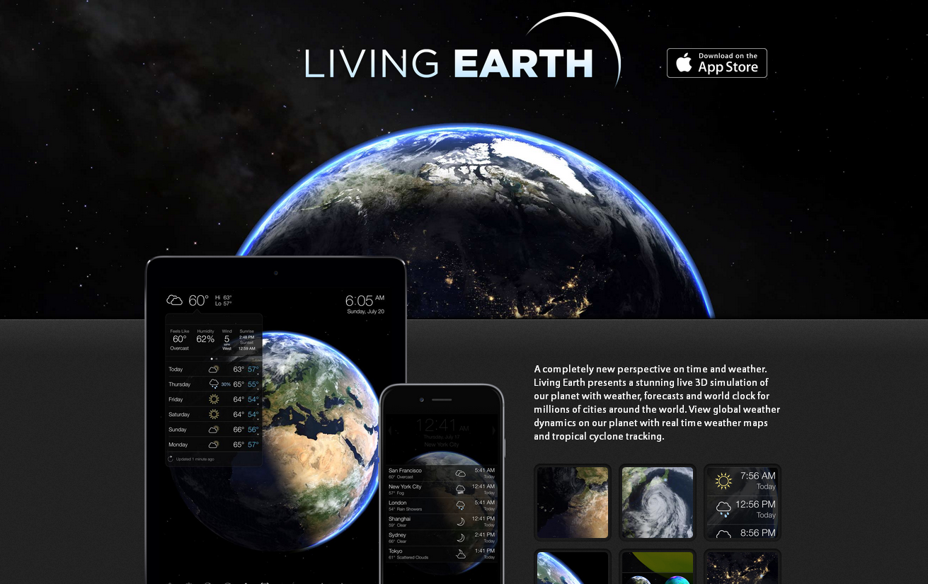
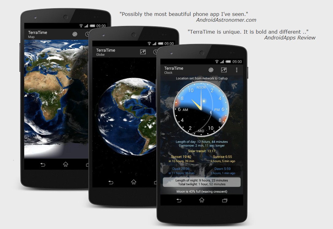
Real-time, virtual Earth smartphone apps / pc browser add-ons / maps / extensions
○ ○ ○ ○
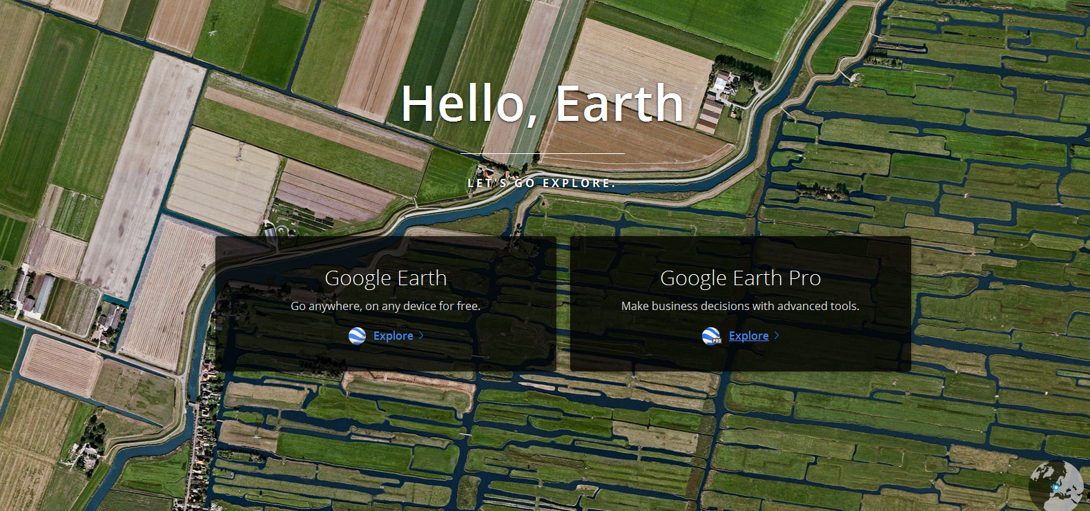
Google Earth http://www.google.com/earth/
Bing Maps Platform (previously Microsoft Virtual Earth) http://www.microsoft.com/maps/
FlashEarth http://www.flashearth.com/
NASA World Wind http://worldwind.arc.nasa.gov/java/ -- http://worldwind.arc.nasa.gov/java/
"World Wind lets you zoom from satellite altitude into any place on Earth. Leveraging Landsat satellite imagery and Radar Topography data, World Wind lets you experience Earth terrain in visually rich 3D..."
NASA Earth Observatory Global Maps http://earthobservatory.nasa.gov/GlobalMaps/?eocn=topnav&eoci=globalmaps
○ ○ ○ ○
○ ○ ○ ○
GIS / ExpertGPS / Global Mapper / GPS TrackMaker
○ ○ ○ ○
http://www.google.com/earth/outreach/tutorials/mapper_temp.html
http://www.google.com/earth/outreach/tutorials/spreadsheet.html
http://www.google.com/earth/outreach/tutorials/spreadsheet3.html
http://www.google.com/earth/outreach/tutorials/mapseng_lite.html