File:EOSDIS EarthData Jan2015b.png: Difference between revisions
Jump to navigation
Jump to search
Siterunner (talk | contribs) (Category:Green Graphics Category:Earth Science https://earthdata.nasa.gov/) |
Siterunner (talk | contribs) No edit summary |
||
| (2 intermediate revisions by the same user not shown) | |||
| Line 1: | Line 1: | ||
https://earthdata.nasa.gov/ | |||
The Earth Observing System Data and Information System (EOSDIS) is a key core capability in NASA’s Earth Science Data Systems Program. | |||
EOSDIS provides end-to-end capabilities for managing NASA’s Earth science data from various sources – satellites, aircraft, field measurements, and various other programs. | |||
[[Category:Green Graphics]] | [[Category:Green Graphics]] | ||
[[Category:Earth Science]] | [[Category:Earth Science]] | ||
[[Category:NASA]] | |||
[[Category:Planet Citizen]] | |||
[[Category:Strategic Demands]] | |||
Latest revision as of 17:51, 8 April 2017
The Earth Observing System Data and Information System (EOSDIS) is a key core capability in NASA’s Earth Science Data Systems Program.
EOSDIS provides end-to-end capabilities for managing NASA’s Earth science data from various sources – satellites, aircraft, field measurements, and various other programs.
File history
Click on a date/time to view the file as it appeared at that time.
| Date/Time | Thumbnail | Dimensions | User | Comment | |
|---|---|---|---|---|---|
| current | 20:58, 16 January 2015 | 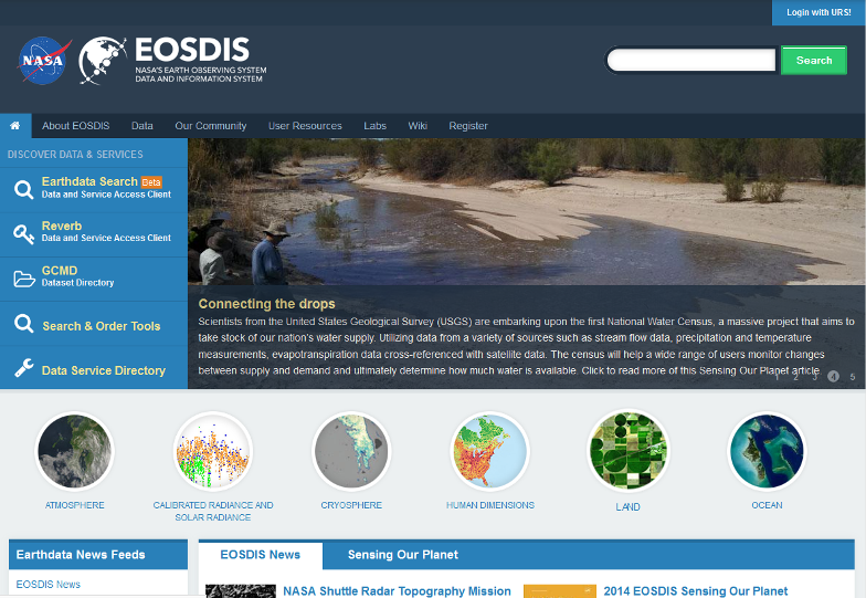 | 784 × 541 (488 KB) | Siterunner (talk | contribs) | Category:Green Graphics Category:Earth Science https://earthdata.nasa.gov/ |
You cannot overwrite this file.
File usage
The following page uses this file: