Blue Marble Collection: Difference between revisions
Siterunner (talk | contribs) No edit summary |
Siterunner (talk | contribs) |
||
| Line 1: | Line 1: | ||
[[File:BlueMarble s.png | link=http://www.greenpolicy360.net/mw/images/BlueMarble3Kx3K.png]] | |||
==[http://visibleearth.nasa.gov/view_cat.php?categoryID=1484 Earth from space, the Blue Marble collection]== | ==[http://visibleearth.nasa.gov/view_cat.php?categoryID=1484 Earth from space, the Blue Marble collection]== | ||
| Line 6: | Line 8: | ||
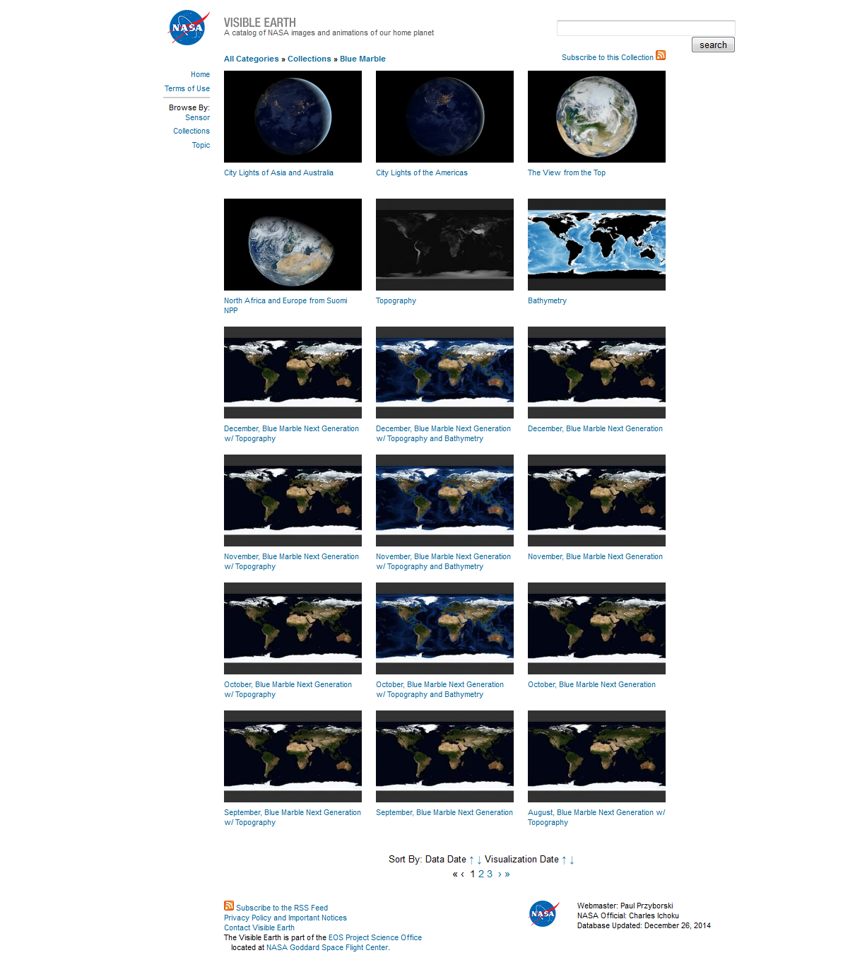
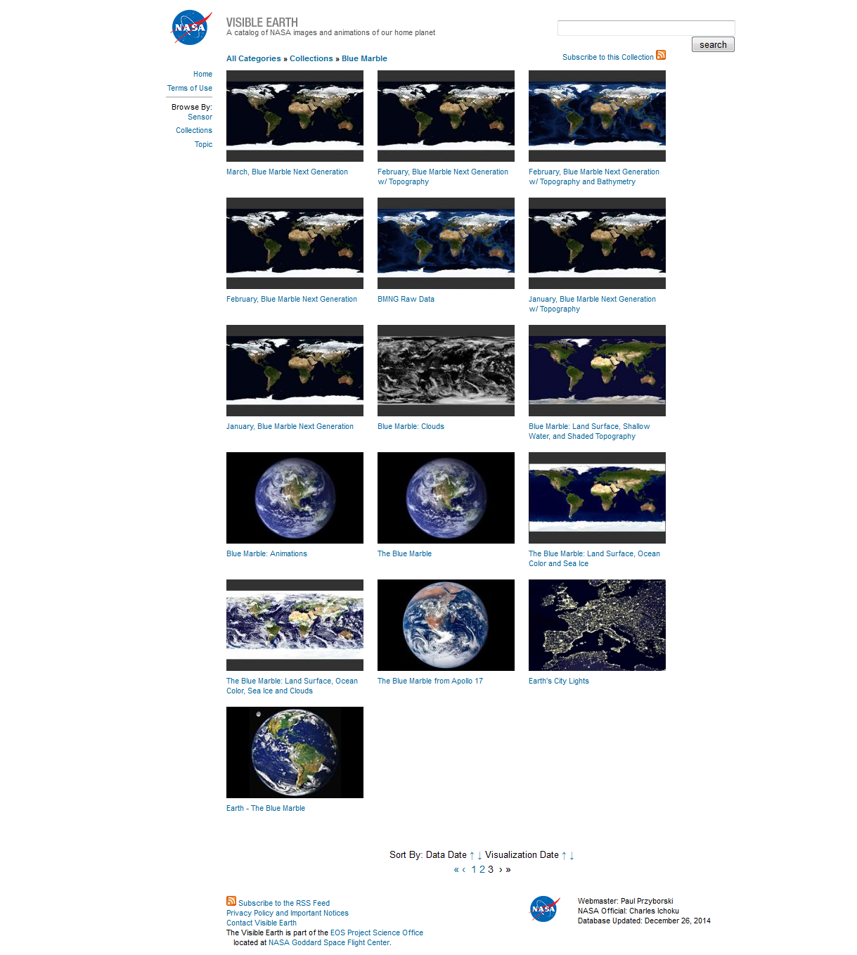
'''A portfolio of us''', beginning with one amazing image and then pages of images we can, as planet citizens, scroll though and choose to see more of at [http://visibleearth.nasa.gov/view_cat.php?categoryID=1484 NASA's Blue Marble website...] | '''A portfolio of us''', beginning with one amazing image and then pages of images we can, as planet citizens, scroll though and choose to see more of at [http://visibleearth.nasa.gov/view_cat.php?categoryID=1484 NASA's Blue Marble website...] | ||
''This | ''This link [http://visibleearth.nasa.gov/view.php?id=57760 to a composite “blue marble” image] is, acc to NASA, the most detailed true-color image of the entire Earth to date. Using a collection of satellite-based observations, scientists and visualizers stitched together months of observations of the land surface, oceans, sea ice, and clouds into a seamless, true-color mosaic of every square kilometer (.386 square mile) of our planet. These images are freely available to educators, scientists, museums, and the public. This record includes preview images and links to full resolution versions up to 21,600 pixels across.'' | ||
'''And... from Wired magazine, a collection of their [http://www.wired.com/2014/12/nasa-best-earth-from-space-2014 favorite NASA images of Earth in 2014]''' | '''And... from Wired magazine, a collection of their [http://www.wired.com/2014/12/nasa-best-earth-from-space-2014 favorite NASA images of Earth in 2014]''' | ||
Revision as of 18:12, 26 December 2014
Earth from space, the Blue Marble collection
December 26, 2014
A portfolio of us, beginning with one amazing image and then pages of images we can, as planet citizens, scroll though and choose to see more of at NASA's Blue Marble website...
This link to a composite “blue marble” image is, acc to NASA, the most detailed true-color image of the entire Earth to date. Using a collection of satellite-based observations, scientists and visualizers stitched together months of observations of the land surface, oceans, sea ice, and clouds into a seamless, true-color mosaic of every square kilometer (.386 square mile) of our planet. These images are freely available to educators, scientists, museums, and the public. This record includes preview images and links to full resolution versions up to 21,600 pixels across.
And... from Wired magazine, a collection of their favorite NASA images of Earth in 2014

○ ○ ○ ○